Define the Field Condition
Capture the exact delta between contract documents and physical site reality before any decision is made.
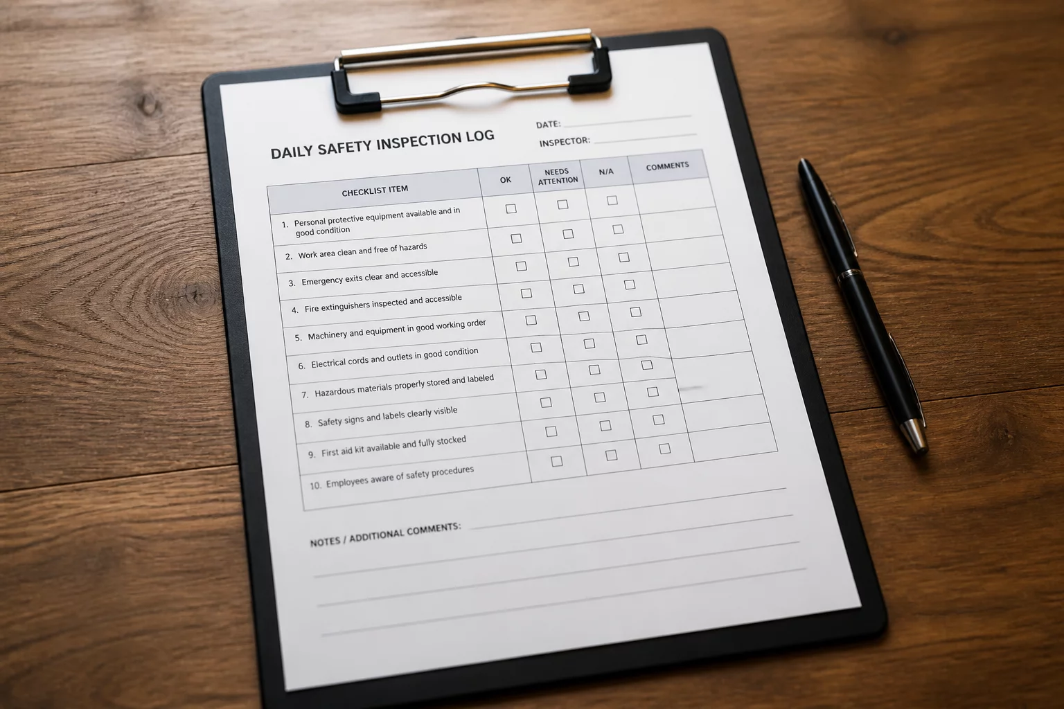
About Defining the Field Condition
Defining the field condition is the critical first step in every construction decision. It means capturing the exact discrepancy between what the contract drawings specify and what actually exists on site. Without a precise definition—dimensions, grid references, photographs, and environmental context—any subsequent decision is built on guesswork. This document walks the field team through a structured process of observation, measurement, and documentation so that all stakeholders share the same understanding of the problem before solutions are proposed.
A well-defined condition includes not just the physical anomaly itself, but the area of influence around it. When plumbing lines are six inches lower than the MEP drawings showed, the condition definition must note how that displacement ripples into framing, drywall, and fireproofing zones. By establishing this shared set of facts up front, teams reduce the friction of ownership transfers and prevent the most common source of site disputes: disagreement about what the problem actually was.
Core Purpose & Scope
- To cross-reference observed conditions with the latest issued-for-construction drawings and submittals.
- To document the area of influence—how far the condition extends into adjacent trades' work zones.
- To create a shared, verifiable fact sheet that all stakeholders can reference before proposing solutions.
Critical Field Review Questions
Before moving past the definition phase, the field team must answer these diagnostic questions:
1. What exactly is the discrepancy?
Describe the difference between the contract drawings and the physical site in precise terms—dimensions, elevations, material type, and grid-line location. Avoid vague language like "it doesn't match" and instead use measured values: "the slab edge is 38mm north of the dimensioned grid line D-7."
2. Which drawings or submittals were cross-referenced?
List the specific drawing numbers, revision dates, and approved submittals that were checked. This establishes that the condition is a true deviation and not a result of referencing outdated documents. Include the sheet number and revision in your definition.
3. What is the area of influence?
Identify how far the condition extends into adjacent work zones. If a pipe is misaligned, note which framing, drywall, or MEP elements above and below are affected. This helps trades understand the full scope before they commit to a solution.
Step-by-Step Implementation Guide
Follow these steps to properly define a field condition before any decision is made:
-
Physical Inspection & Measurement:
Walk the affected area with a digital caliper, laser distance meter, and high-lumen flashlight. Record exact dimensions, elevations, and offsets. Take geo-tagged photographs from multiple angles and note the date and time of each observation.
-
Drawing Cross-Reference:
Compare your measurements against the most recent IFC drawings, approved submittals, and shop drawings. Note the specific sheet numbers and revision dates you checked. If there is a conflict between disciplines, flag it immediately.
-
Condition Definition Statement:
Draft a single-paragraph statement using a standardized naming convention: location (grid lines), discrepancy (measured vs. drawn), and area of influence (trades affected). Circulate this statement to the superintendent, project manager, and affected trade foremen for acknowledgment.
Discussion & Verification Logs
No logs or comments recorded yet. Be the first to start the discussion!
Add to the Log